GPS Hiking & Walking App
Retrace your steps.
Record hikes, long-distance walks and multi-day trails with accurate GPS, elevation, route statistics and GPX export. No account required.
Download in App Store Hiking GPS featuresBuilt for Hiking and Long-Distance Walking
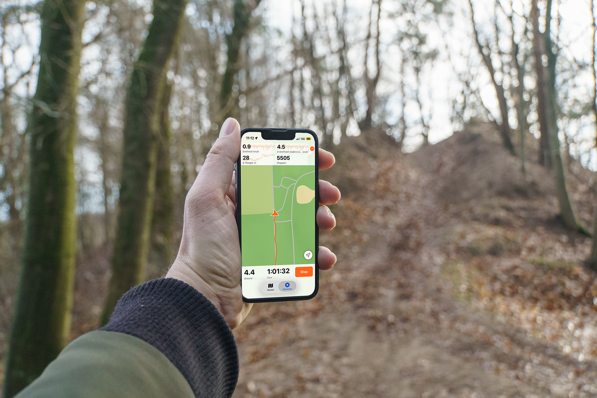
See TrailTrackr in Action
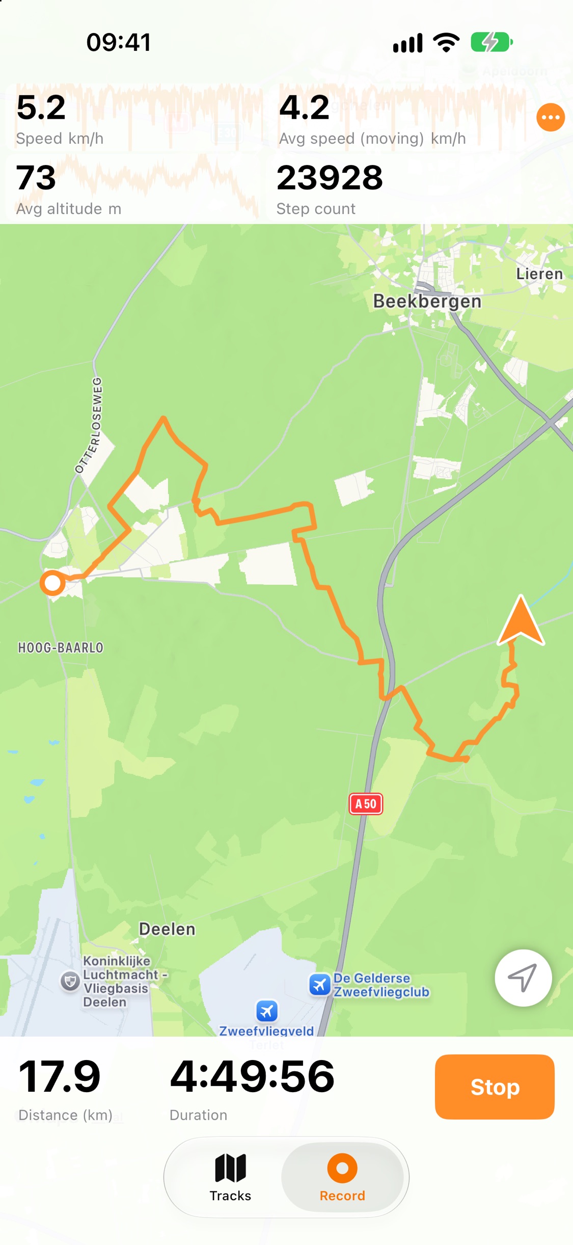
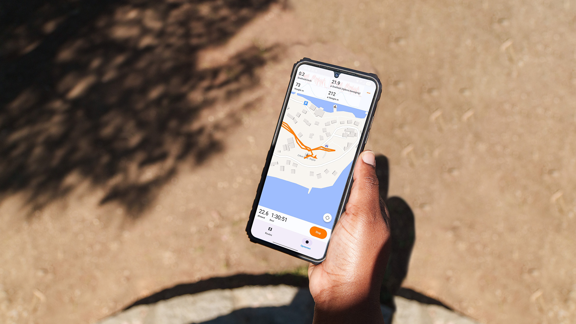
Live Hiking Statistics
Follow distance, duration, speed and elevation in real time while you record your route
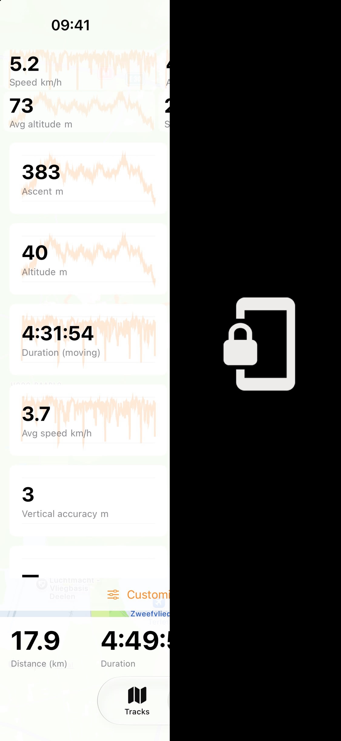
GPS Tracking With the Screen Locked
Recording keeps running in the background when your iPhone screen is locked
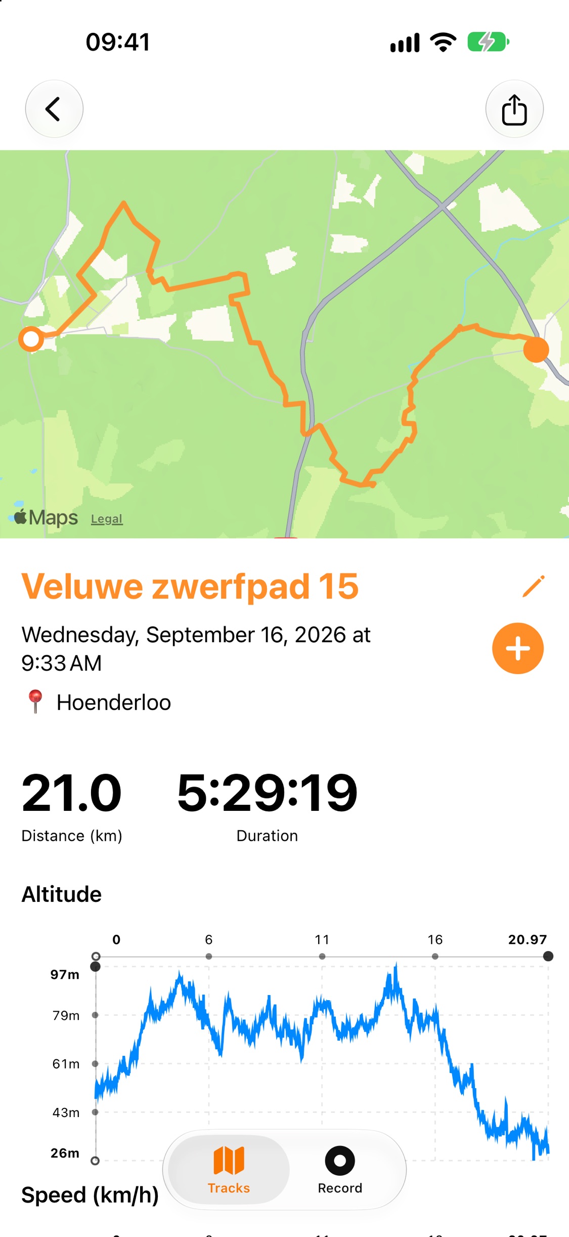
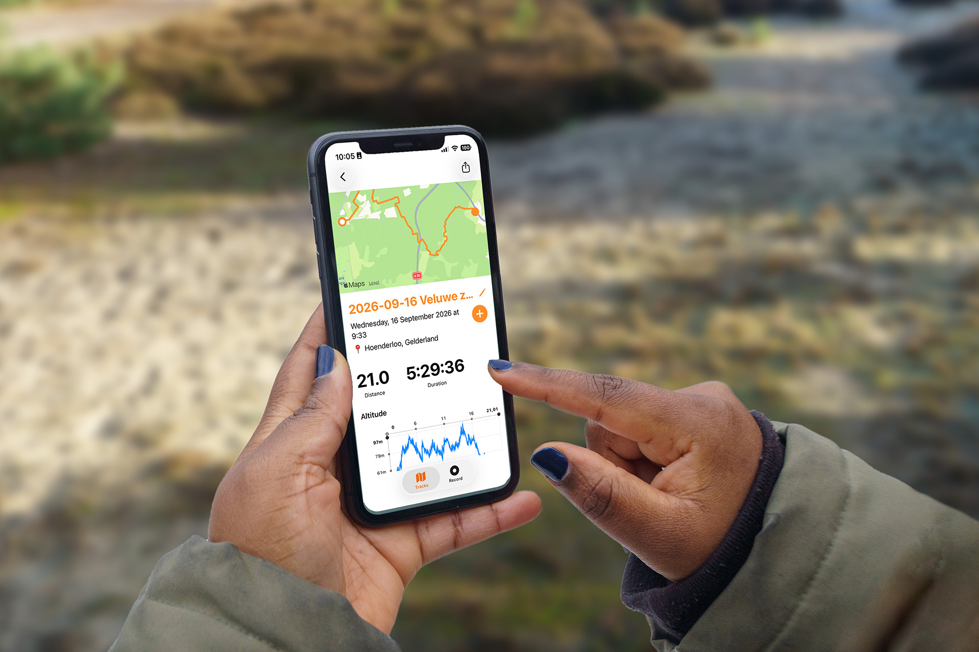
Hiking Route Summaries
Review your route, distance, duration and altitude profile, then share it as a GPX file
Powerful Hiking GPS Features
Background GPS Tracking
Continuous location updates while your screen is locked, built for long hikes and all-day tracking.
Accurate Elevation
Record elevation along your route, with a filter that ignores insignificant changes to reduce noise, and see ascent and altitude charts afterwards.
Battery-Efficient Recording
Smart sampling with customizable intervals and distance filters. Adaptive accuracy for Low Power Mode.
Multiple Map Styles
Choose between Standard, Hybrid, Satellite or OpenStreetMap views. Three tracking modes: free, centered, and locked with compass.
Your Units
Show distance, altitude, speed and pace the way you like: kilometers, miles, nautical miles or feet. Also on Apple Watch and Mac.
GPX Import and Export
Import GPX files and export your tracks as standard GPX files for use with other apps and services. TrailTrackr GPX import and export works with iTunes/Finder file sharing too.
Private GPS Tracking
Tracks are stored locally on your device and no account is required. The app sends only anonymous usage statistics and crash reports, never your routes.
Smart Search
Filter tracks by activity type and search by name. Activity filter menu shows only types you've actually recorded.
Photo Tagging
Indoor continuity feature maintains timeline even in poor GPS conditions. Perfect for geotagging photos taken during your activities.
Auto Recovery
Periodic autosave every 10 seconds protects your data. Recover suspended recordings after crashes or force-quits.
Siri & Shortcuts
Say “Start a hike in TrailTrackr” or “Stop recording in TrailTrackr”, or use the actions in Shortcuts and automations. If an interrupted recording is waiting, Siri asks whether to continue or save it first Search a track by name, or check whether a recording is running.
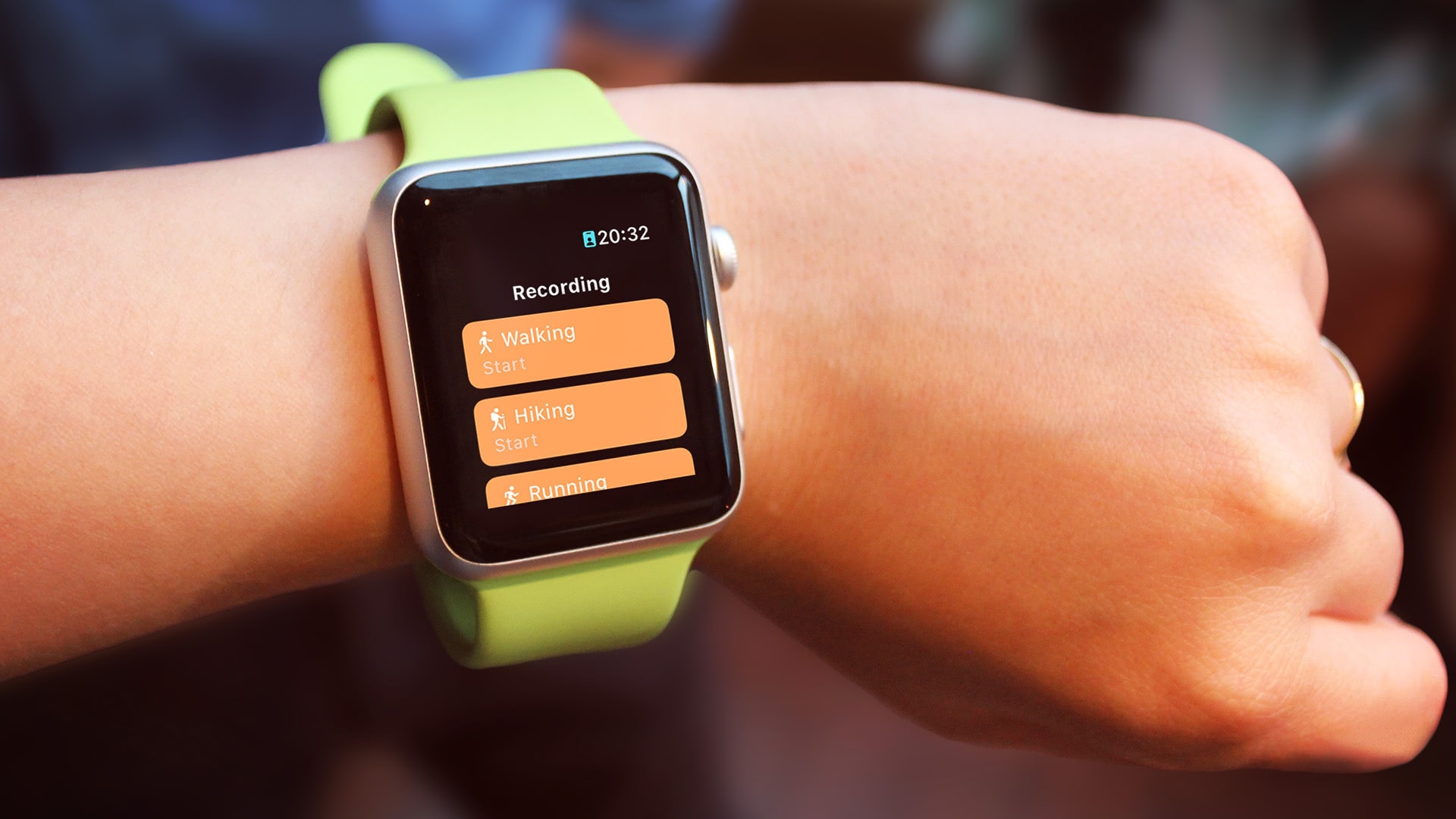
Track Your Hike With Apple Watch
Start Recording on Apple Watch
Pick an activity and start tracking directly from your wrist, no need to take out your iPhone.
Live Stats at a Glance
See distance, duration, pace, speed and altitude update in real time on your wrist while you move.
Automatic Sync to iPhone
Finished tracks sync automatically to the TrailTrackr iPhone app, ready for review and GPX export.
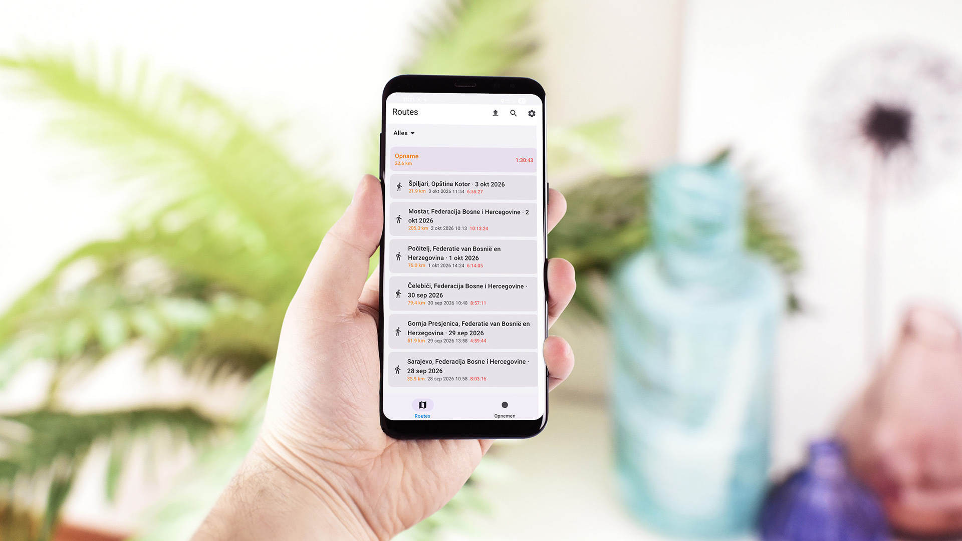
TrailTrackr for Android
The beta has started.
The TrailTrackr for Android beta has started. Sign up with the form to get an invite to the beta and a message when it's live on Google Play.
Google Play requires at least 12 testers to use the beta for two consecutive weeks before the app can go live, so every tester helps.
More about TrailTrackr for Android Join the Android beta
Use the email of your Google account. We only use it for Android beta and launch news. Privacy policy
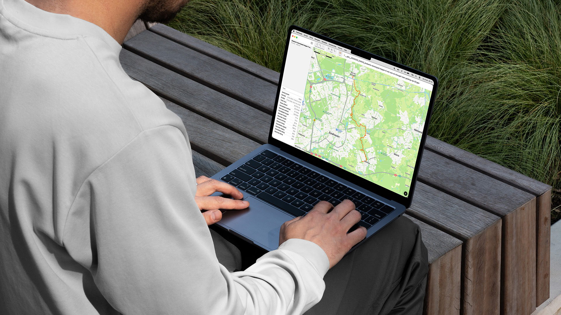
View and Edit Your Routes on Mac
TrailTrackr for Mac opens GPX and KML files in their own window, so you can look at a recorded hike on a bigger screen. See the route on a map with statistics such as distance and elevation, and browse the segments of multi-day tracks. You can also edit: select, move and remove points, merge, split and optimize tracks, fix timestamps and export to KML. The Mac app does not record tracks.
Mac GPX viewer for hiking routes · Siri, Shortcuts and AI agents
Reliable GPS Tracking for Long Hikes
TrailTrackr filters GPS points by time, distance and accuracy to keep long recordings compact and battery-friendly. How TrailTrackr GPS tracking works with the screen locked.
Smart Sampling
- Minimum interval: 5 seconds (customizable 1-30s)
- Minimum distance: 15 meters (customizable 1-100m)
- Accuracy gate: 50 meters max horizontal accuracy
- Idle bypass for indoor continuity (90s default)
Background Strategy
- Continuous updates with screen locked
- Dynamic accuracy: best accuracy in the foreground, reduced accuracy setting in the background to save power
- Low Power Mode: Relaxed accuracy gate (~80m)
- Background location indicator shown in iOS
Display Options
- Keep display on during recording
- Proximity sensor: Auto-dim when face-down or in pocket
- Battery-saving defaults enabled
- Prevents accidental touches
Map Tracking Modes
- Free mode: Browse map freely
- Centered mode: Auto-center on location
- Locked mode: Heading-based rotation
- Custom arrow annotation with heading
Recovery System
- Autosave every ~10 seconds
- Survives force-kills and crashes
- Continue or save suspended recordings
- Duplicate prevention by timestamp matching
Altitude
- Altitude filter ensures only significant elevation changes are recorded, reducing noise in data.
Your hike is yours. A tracker should record every step and keep it on your device.
The problem we solve.
Most hiking apps lose the track when the screen locks, the battery runs low or the signal drops. Or they want an account and your location in the cloud first.
TrailTrackr is built to close that gap: reliable recording on iPhone, Apple Watch and Android, with your routes stored on your own device.
Private Hiking GPS Tracking
Your tracks and location data are stored locally on your device. TrailTrackr has no account and no cloud sync of your routes. The app only sends anonymous usage statistics and crash reports, which contain no coordinates or track details. Your own device backup (such as iCloud) may include the app data.
🔒 TrailTrackr privacy and local storage