Your tracks, your choice
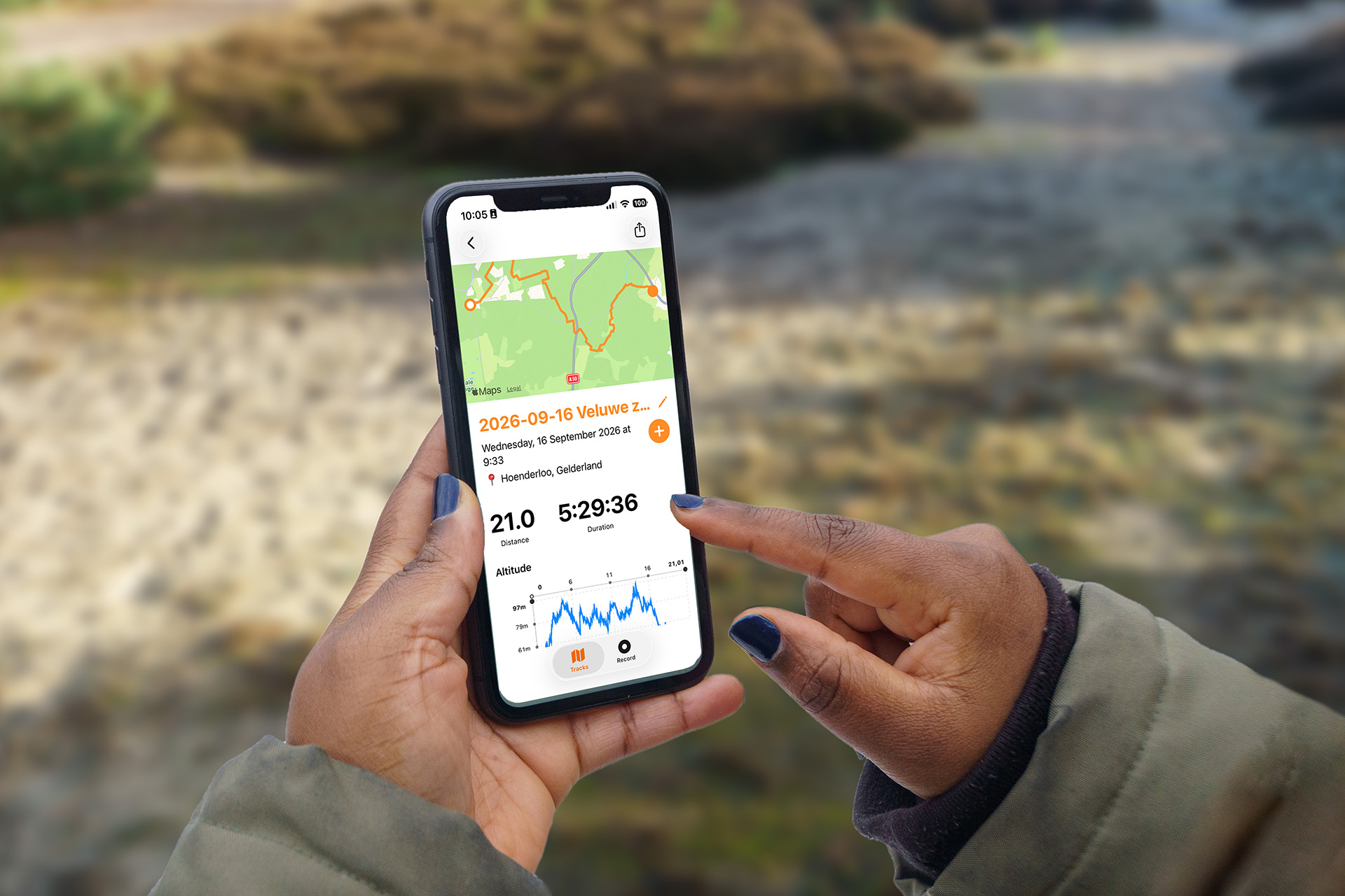
TrailTrackr is a tracker for hikers who want to keep their data to themselves. No social network around it, just your route, your times and your elevation gain.
Choose a tracker that fits your hike
Recording a route seems simple, until you want to find it again, share it or take it to a new phone. That is why TrailTrackr pays attention to three things.
Your data stays local
Your tracks stay with you, not in a social network that makes them hard to get out.
Made for long distance
The app is focused on hiking and multi-day routes. You can track other sports with it too.
Built by a hiker
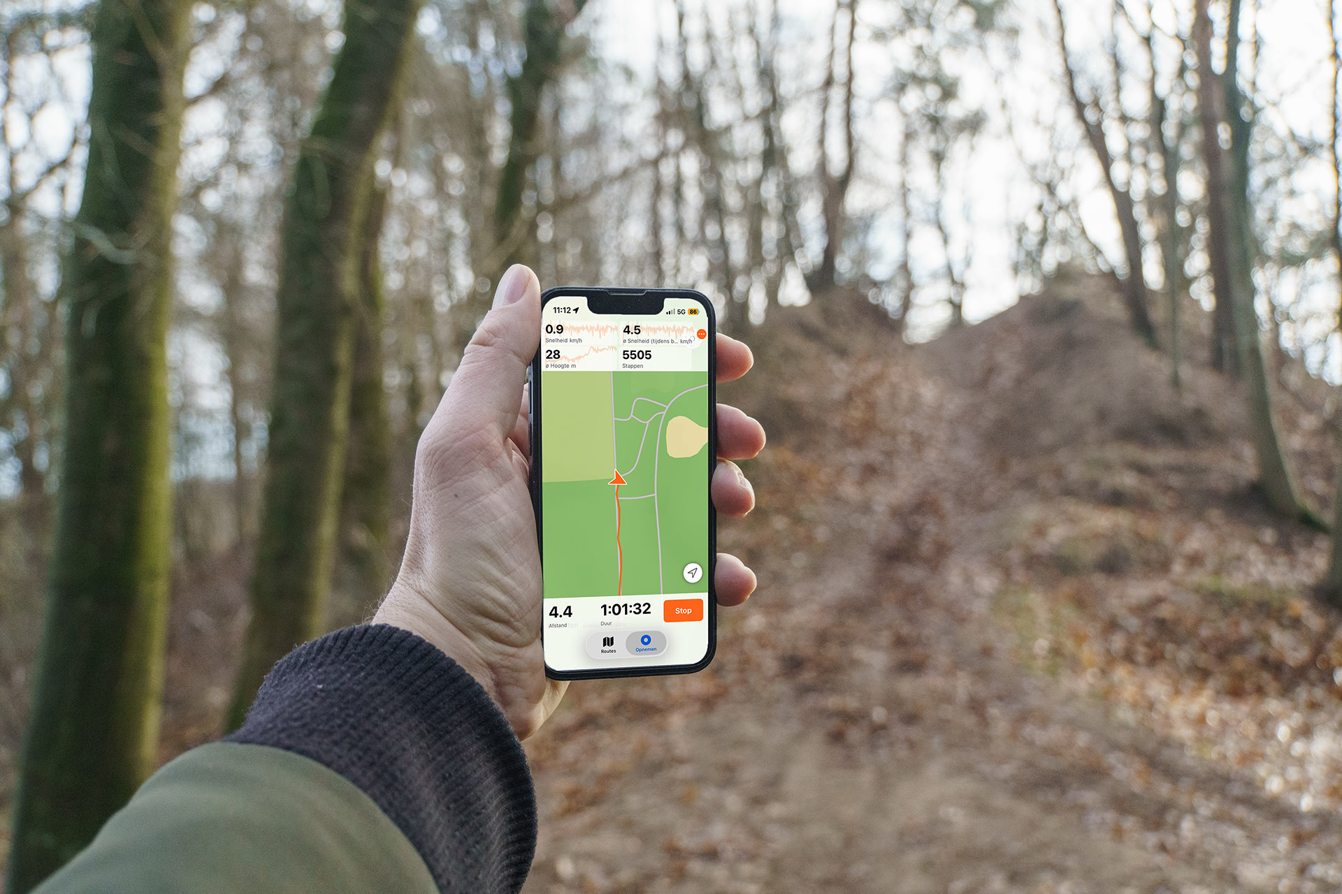
I hike long distances myself and use TrailTrackr to see how long a route takes and where I have already been.
Why TrailTrackr exists
- The old app disappeared. Trails.io, which I had used to record my hikes for years, disappeared from the App Store. It could no longer be installed on my father's new phone.
- Tested six alternatives. I walked the same daily loop of a known distance with every app. Only one was still tracking in the background after twenty minutes.
- Strava works, but doesn't fit. It is social, and your data is hard to own or export. I wanted that to be different.
- First version in a weekend. After about two weeks the app was in the App Store.
- Iterating on user feedback. Based on what users report back, the app is improved step by step.
The difference from a social sports app
| Social sports app | TrailTrackr | |
|---|---|---|
| What is it about? | Sharing and comparing with others | Your own routes and times |
| Who has your data? | The platform, with an export that can be difficult | You, stored locally |
| Which sport? | Mainly running and cycling | Hiking and long distance, other sports possible too |
Frequently asked questions
Which devices is TrailTrackr available for?
There is a native iOS app in the App Store and a version for Mac. The Android app (Material Design) is in development.
Where are my tracks stored?
Locally, on your own device. That is the starting point of the app.
Can I use it to prepare a multi-day hike?
Yes. On the Mac you import a route, check distances, merge sources, prepare GPX files and roughly estimate the distance per day.
In which languages is the website available?
The website is available in English, Dutch, German, Spanish, French, Norwegian, Polish and Swedish. The blog is in Dutch, English and German.