See It In Action
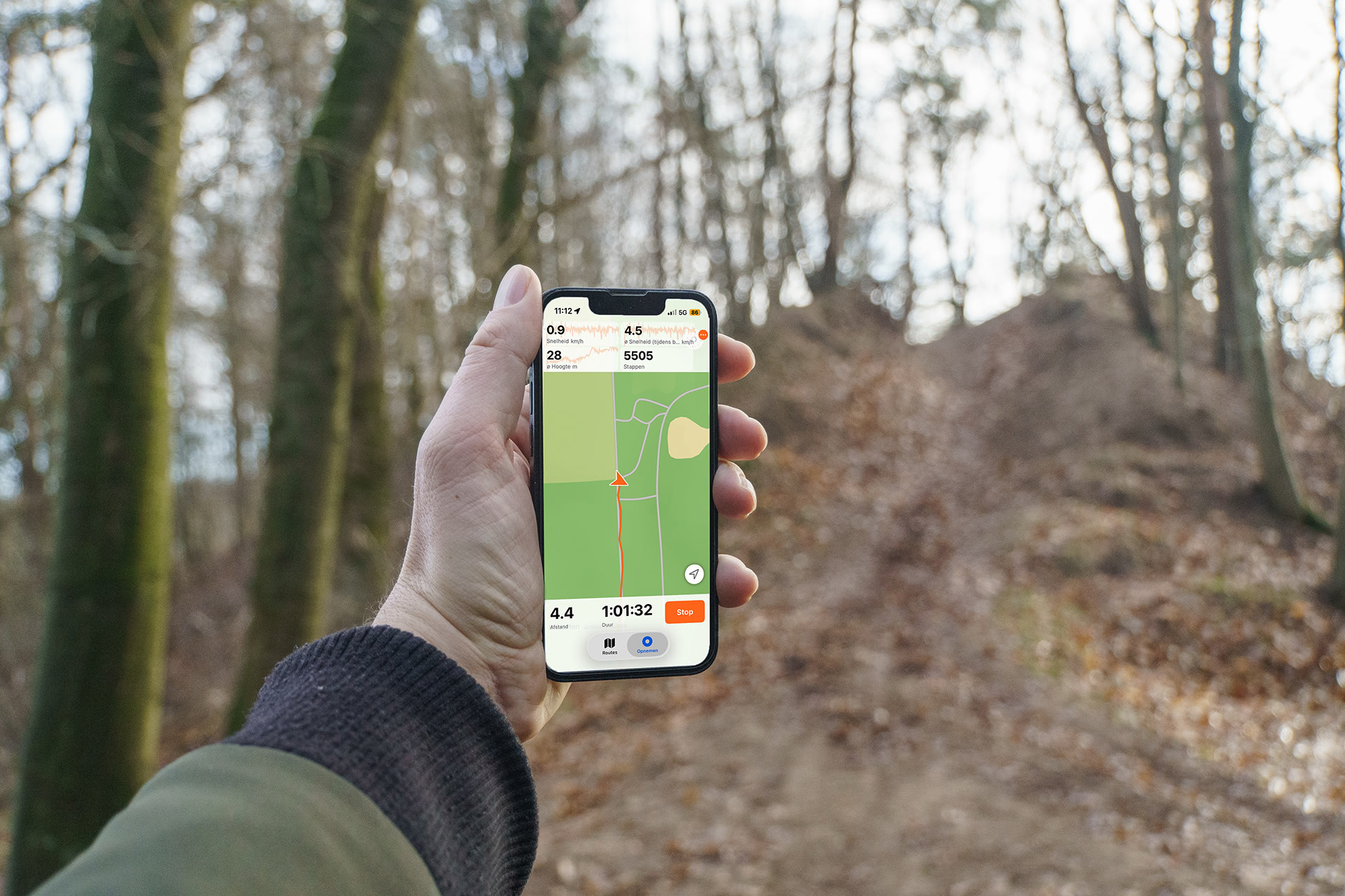
Live Stats in Action
Track your performance in real time while recording your trail
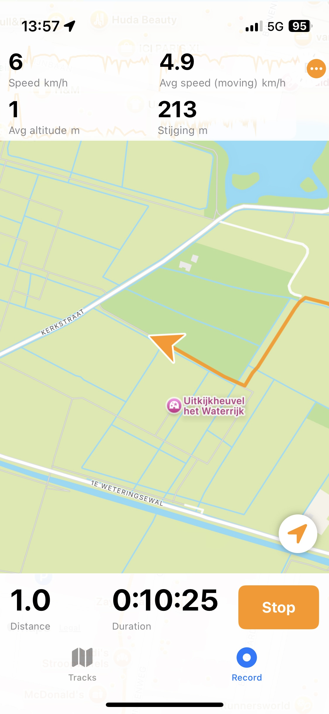
Reliable background tracking
Keep recording even when your screen is locked
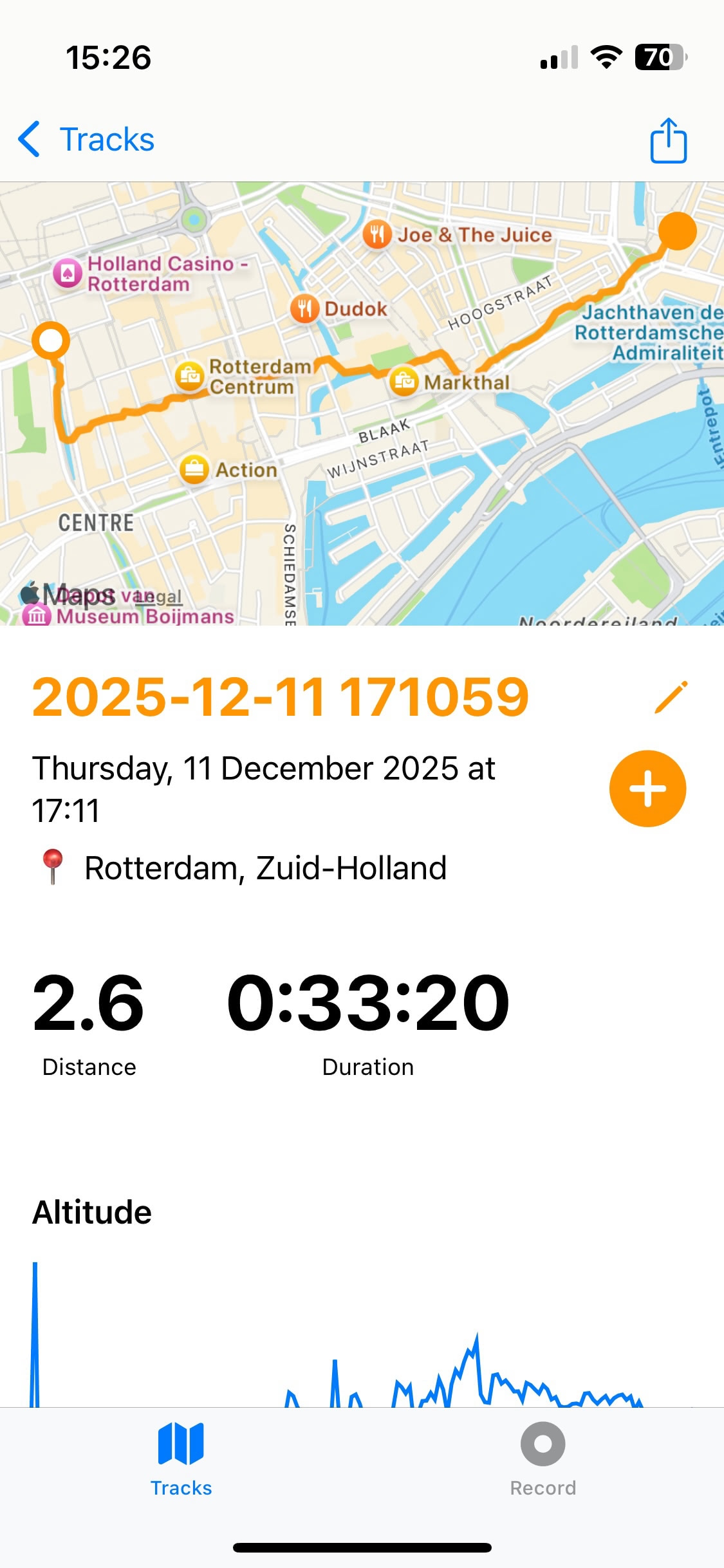
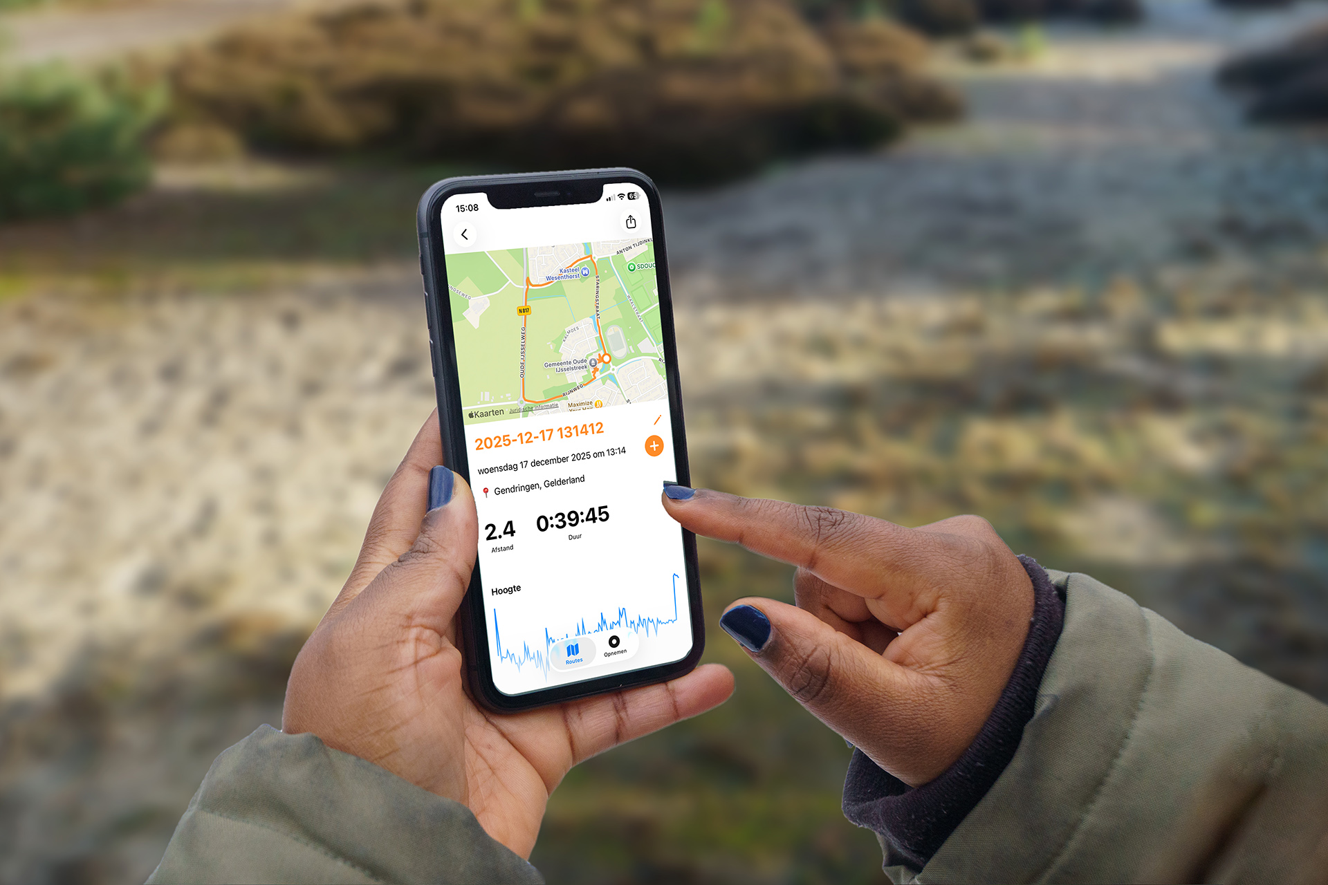
Summaries of your adventures
Share your track with others via GPX